- Type
- Lesson plan
- Topics
- ScienceComputer Science
- Ages
- Ages 11-13
How do rock distributions, fossil patterns, and ocean floor structures provide evidence of tectonic plate movement?
Overview
Geological evidence such as identical rock strata and fossil distributions found across oceans provides foundational support for plate tectonics and continental motion. In addition, dynamic underwater structures like mid-ocean ridges, fracture zones, and deep-sea trenches show that the Earth's crust is actively forming and moving.
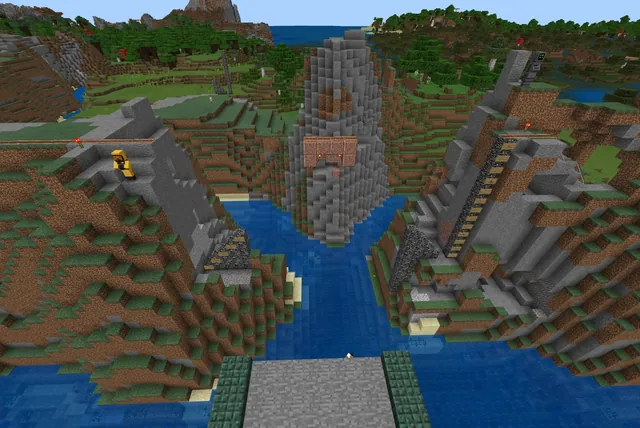
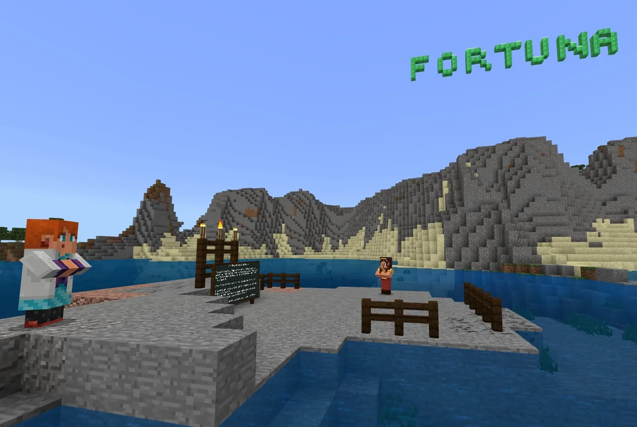
In this lesson, students explore an ocean world flanked by two separate continents. Using block-based coding commands such as replace with, fill with, and sphere with repeat loops, students terraform geological features, embed matching fossil records at equal elevations, and excavate oceanic structures to model tectonic evidence.
Learning objectives
By the end of this lesson students will be able to:
- Distribute matching fossil and rock layers at identical elevations across separated continents using replace commands.
- Construct an underwater seafloor ridge following a path of gold blocks using coded repeat loops and sphere commands.
- Model a tectonic fracture zone with magma and excavate a deep ocean trench using fill commands.
- Explain how continental rock distribution and ocean floor formations provide evidence for plate movement.
Blocks and items used in this lesson


Key vocabulary
- Seafloor Ridge
- An underwater mountain range formed where tectonic plates diverge.
- Fracture Zone
- A linear oceanic boundary or crack running in an alternate direction from a ridge, often containing magma.
- Ocean Trench
- A steep, long, and deep depression in the ocean floor created by tectonic activity.
- Replace With Command
- A coding instruction that changes specific target blocks into a new block type within a relative coordinate area.
- Fill With Command
- A coding instruction used to fill an entire designated 3D coordinate volume with a specific block.
Before class
Lesson sequence
- Continental Fossil & Rock Distribution
Students visit the shorelines of both separated continents. Using the replace with command, they replace sand with coal ore (or another chosen ore) and swap gravel with bone blocks to represent fossils.
Students ensure these layers appear at equal elevations across both landmasses to model evidence of ancient continental connections. If mistakes are made in the coordinate sequence, students reverse the block types and re-execute the code.
- Coding the Seafloor Ridge
Students travel underwater between the two continents to locate a submerged trail made of gold blocks. They program a hollow sand sphere (radius 2, centered at player position) wrapped in a repeat loop (10x).
As students walk along the gold trail, falling sand continuously stacks beneath and behind them to form an elevated undersea ridge.
- Adding Fracture Zones & Magma
Students build a secondary ridge extending in a different direction from the main formation to represent a fracture zone.
Along the crest of this ridge structure, students place magma blocks to represent rising molten rock along active tectonic fissures.
- Excavating an Ocean Trench
Using the fill with command, students carve out a long, deep trench on the seafloor. Students test their coordinate code on a small scale first to prevent unwanted block clearing before excavating the full trench.
Once the trench is excavated, students ensure it is filled with water blocks.
- Documentation & Peer Review
Students capture portfolio photos or record a video tour of their completed formations, explaining how fossil elevation and seafloor structures reflect plate motions.
Students visit each other's worlds to provide coding feedback and discuss the functional differences between fill with and replace with commands.
Assessment: success criteria
- Fossils (bone) and ore layers are correctly coded at identical elevations along both continental shorelines.
- An underwater seafloor ridge is successfully built along the submerged gold marker trail using looped sphere commands.
- A secondary fracture zone with magma and a water-filled ocean trench are modeled on the seafloor.
- Students can explain the evidence fossils provide for continental drift and identify the differences between replace and fill commands.
Differentiation
Provide a reference guide showing relative coordinate formats (+/- for horizontal and vertical offsets) so students can set up their replace and sphere commands accurately.
Have students narrate a comprehensive video tour comparing the geological formation processes of seafloor ridges versus trenches while highlighting their coding scripts.
Knowledge check
5 questions to check understanding after the lesson. Tap an answer to see if it is right; the score appears at the end.
1Why do students place bone and coal ore at equal elevations on both continents?
Answer: A. Matching rock layers and fossil evidence at identical elevations across separated continents support the theory that landmasses were previously connected.
2What underwater feature guides students when generating the seafloor ridge?
Answer: C. The source notes that halfway between each continent underwater, students find a trail of gold blocks to guide ridge construction.
3How is the seafloor ridge constructed using code?
Answer: B. Wrapping a hollow sand sphere command with radius 2 inside a repeat loop causes sand to continuously fall and build the ridge as the player moves.
4What block type is added to the top of the secondary ridge to represent a fracture zone?
Answer: D. The source specifies adding magma to the top of the secondary ridge to represent an active fracture zone.
5Which command is used to excavate the long, deep underwater trench?
Answer: A. The source directs students to use the blocks fill with command to carve out a deep trench in the ocean floor.
Resources
- Lesson package (.zip)Everything the author attached to this lesson in one download.
- World FileWorld file for student use
Part of the Code for STEM curriculum
This is lesson 13 of 20 in Code for STEM.
- 3-D Fractions
- Aquarium
- Build a Dam
- Canyon Arch Bridge
- Chicken or the Egg
- Creeper Tower Test
- Energy Transfer
- Forces
- Hour of Code: AI for Good
- Minecraft Code Town
- Molecules
- Number Line Railroad
- Plate Motions
- Road Construction Ahead
- Scale
- Slope
- Surface Area and Perimeter
- Units of Measurement
- Walled Fortress
- Wave Properties
Frequently Asked Questions
How do students fix mistakes made with the replace with command?
If an error occurs while running relative coordinates, students simply reverse the block selections in the code and execute it again to restore the original terrain.
Why is it important for students to test trench excavation on a small scale first?
Testing on a small coordinate volume ensures the fill command targets the correct boundaries and prevents accidental large-scale destruction of the ocean floor.
What options do students have for submitting their work?
Students can take in-game photos to submit via a portfolio or record a walkthrough video tour showcasing their landmasses and underwater tectonic features.
Adapted from Plate Motions by John Miller on Minecraft Education, last updated Jul 14, 2022. This classroom version, the timings and the quiz were written by 9Minecraft Education.