- Type
- Lesson plan
- Grade
- Primary (Grades 3-5)
- Ages
- Ages 8-10
- Duration
- 45 min
- Level
- Beginner
How can unsupervised machine learning use visual datasets to detect environmental damage in remote forests?
Overview
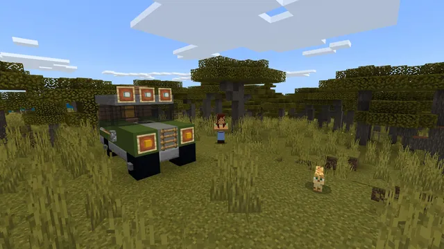
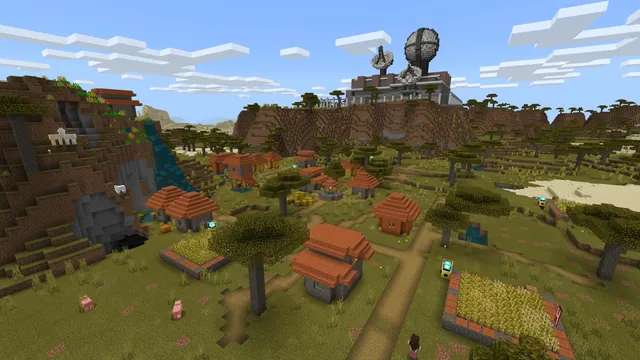
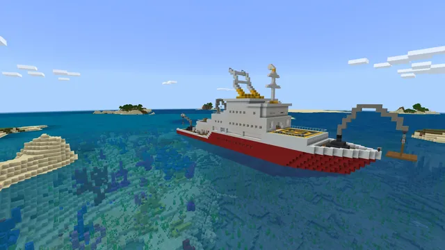
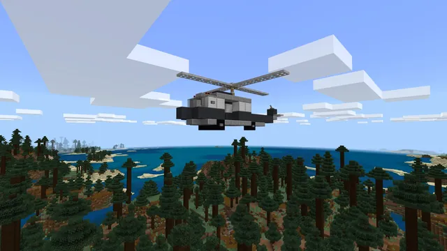
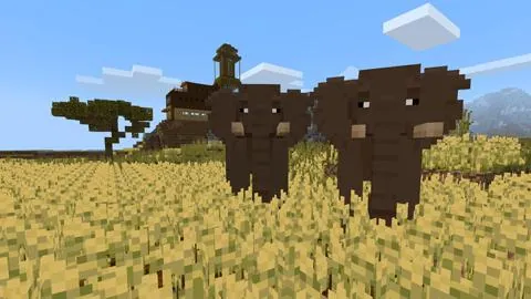
In this lesson, learners join a scientific aerial expedition to photograph remote forest landscapes. By gathering photographic records, students explore how large collections of visual data can train artificial intelligence to recognize the typical appearance of healthy woodlands.
Using Minecraft, students fly over terrain to compile image data and observe how unsupervised machine learning detects unusual changes. The AI scans datasets for environmental anomalies, such as shifting color patterns or expanding clearings, helping conservationists address threats like tree disease, wildfire risks, and illegal timber harvesting.
Learning objectives
By the end of this lesson students will be able to:
- Collect and organize photographic images to assemble an environmental dataset
- Explain how unsupervised machine learning determines what a healthy forest looks like
- Identify how machine learning models detect anomalies such as tree disease and illegal logging
- Describe how AI-assisted conservation helps protect delicate ecosystems
Blocks and items used in this lesson


Key vocabulary
- Dataset
- A structured collection of data or photographs gathered for analysis by a computer.
- Unsupervised Machine Learning
- A type of AI learning where the computer finds patterns in data without pre-labeled answers.
- Anomaly
- Something that deviates from what is standard, normal, or expected in a dataset.
Before class
Lesson sequence
Suggested timing: about 45 minutes in total.
- Introduction: The Aerial Mission10 min
Introduce the expedition scenario where students act as researchers, engineers, and scientists. Present the lesson slides to explain how visual datasets allow unsupervised machine learning to understand typical forest patterns.
- Activity 1: Flying High10 min
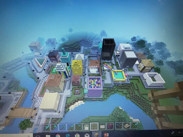
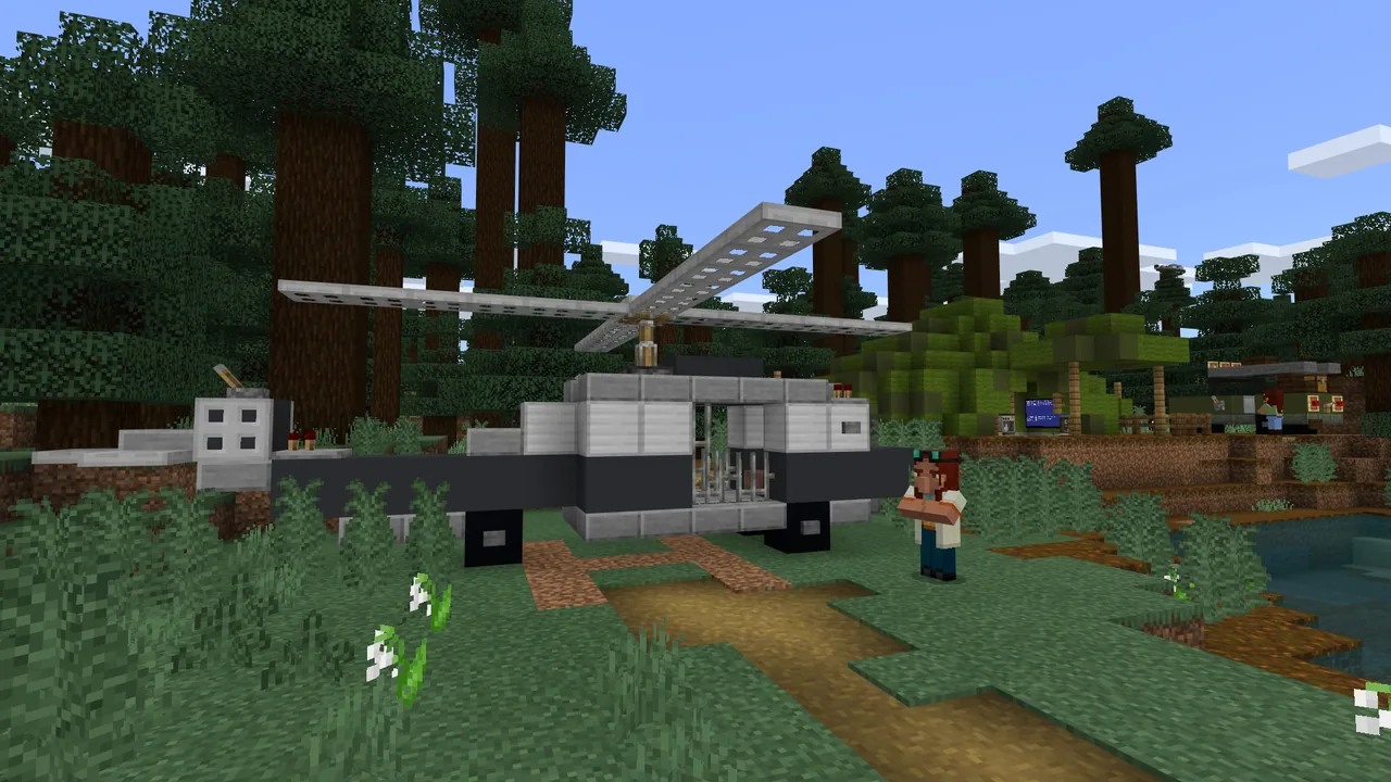
Students launch into the Minecraft world, taking flight over remote wilderness areas to capture aerial imagery of the terrain below.
- Activity 2: Mapping Everything Out10 min
Learners organize their collected photos into a working dataset, observing how large volumes of visual records establish a baseline of normal forest conditions.
- Activity 3: Detecting Anomalies8 min
Students examine how the AI analyzes the dataset to spot unexpected discrepancies, such as discolored vegetation, spreading desolate ground, or displaced wildlife.
- Activity 4: Problem Solving & Reflection7 min
Teams discuss how detecting illegal logging or forest disease early allows conservation teams to intervene, reviewing the Terrafuse case study on wildfire prevention.
Assessment: success criteria
- Student accurately explains that the AI detects problems by comparing normal forest baselines to unexpected visual discrepancies.
- Student articulates why early identification of illegal logging is critical for preventing severe ecosystem disruption.
- Student successfully completes the in-world aerial photography and data mapping tasks.
Differentiation
Walk through the flight controls and photo collection steps together using the classroom presentation slides.
Ask learners to consider other real-world environmental threats, like expanding fire hazard zones, that aerial AI scanning could track.
Knowledge check
5 questions to check understanding after the lesson. Tap an answer to see if it is right; the score appears at the end.
1What kind of machine learning does the terrain monitoring AI use in this lesson?
Answer: A. The curriculum specifies that the AI uses unsupervised machine learning on large picture collections to learn what forests normally look like.
2What primary type of data do students collect during their aerial expedition?
Answer: C. Learners fly over the forest to capture photos that form the dataset for the AI.
3How does the AI determine that illegal logging or tree disease is present?
Answer: B. The system identifies issues by scanning the dataset for differences from normal appearances, including discoloration or expanding clearings.
4Why is early detection of illegal logging vital for environmentalists?
Answer: B. Prompt detection allows conservationists to protect ecosystems before excessive environmental damage occurs.
5How does partner organization Terrafuse apply AI to forestry management?
Answer: B. Terrafuse utilizes AI to identify regions affected by forest fires or showing warning signs of imminent fires.
Resources
- Lesson package (.zip)Everything the author attached to this lesson in one download.
- Artificial Intelligence- Mapping TerrainEDU Guide
- Artificial Intelligence- Mapping TerrainPresentation
- Artificial IntelligenceCurriculum Overview
- Lesson worldOpens the world page in Minecraft Education (sign-in with a school account may be needed).
Part of the AI Foundations curriculum
This is lesson 2 of 18 in AI Foundations.
- AI-1: Who Is That Ocelot?
- AI-2: Mapping Terrain
- AI-3: Sustainable Farming
- AI-4: Ocean Observations
- AI-5: Water Quality
- Unit 9: AI
- AI Adventurers
- AI Wildlife Park
- CyberSafe AI: Dig Deeper
- Fantastic Fairgrounds
- Hour of AI: Field Agent
- Hour of AI: Generation AI
- Hour of AI: The First Night
- Hour of Code: AI for Good
- Hour of Code: Generation AI
- Mini Agent Mission
- Peter Is Here: AI for Cultural Heritage
- Reed Smart: AI Detective
Frequently Asked Questions
Does this lesson represent exact real-world AI programming workflows?
No. The concepts are simplified to explain the conceptual workflow of collecting data and detecting anomalies within Minecraft rather than replicating professional software development.
What materials are provided to guide classroom instruction?
The lesson package includes a step-by-step classroom presentation following the gradual release model, a downloadable Minecraft world, and a Curriculum Overview document.
Adapted from AI-2: Mapping Terrain by Minecraft Education on Minecraft Education, last updated Oct 4, 2024. This classroom version, the timings and the quiz were written by 9Minecraft Education.