- Type
- Lesson plan
- Ages
- Ages 8-13
- Duration
- about 3 hours (suggested)
How can viewing Earth from space help us interpret geographic features and recreate landforms in Minecraft?
Overview
Astronauts aboard the International Space Station have a unique vantage point high above our planet. In this lesson, students discover how astronauts observe and photograph Earth, learning about the Cupola observatory module and analyzing satellite photography to identify various geographic features, night lights, and ocean variations.
Students then take on the role of orbital observers by sketching an aerial map on graph paper and building a secret Earth landform inside Minecraft. Working in small groups, they plant clue boards across their build and challenge their classmates to identify the featured location through high-altitude observation and deductive reasoning.
Learning objectives
By the end of this lesson students will be able to:
- Explore photographs of Earth captured by astronauts aboard the International Space Station.
- Analyze visual clues to determine the geographic locations of orbital images.
- Draft an aerial blueprint on graph paper showing a designated landform or geographic area.
- Recreate a chosen landform in Minecraft with embedded written clues for a collaborative guessing game.
Blocks and items used in this lesson


Key vocabulary
- Cupola
- A dedicated observatory module on the International Space Station with multiple windows where astronauts take most of their pictures and videos of Earth.
- Aerial view
- A perspective or image showing a landscape directly from above.
- Landform
- A natural physical feature on the surface of the Earth, such as a mountain, island, river, or coastline.
Before class
Lesson sequence
Suggested timing: about 180 minutes in total.
- Day 1: Observing Earth from Orbit60 min
Show the video Station Tour: Cupola and Leonardo (stopping around 2:30) so students understand where the Cupola is located and why it is used for photography. Next, guide the whole class through sample photographs on the Windows on Earth website.
Lead two whole-class rounds of Mystery Images from Space to model identifying landforms. Then, dismiss students to work individually or in small groups on additional mystery image challenges before regrouping to record key observations on chart paper.
- Day 2: ISS Exploration and Secret Blueprinting60 min
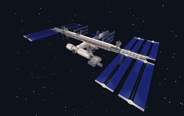
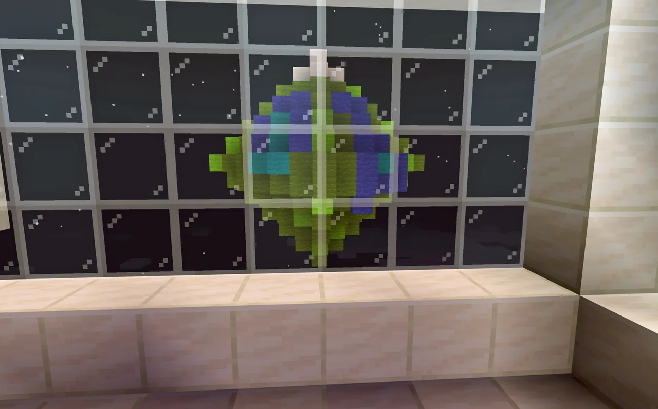
Review key takeaways from Day 1, then allow students time to navigate the Minecraft International Space Station world to locate the Cupola module.
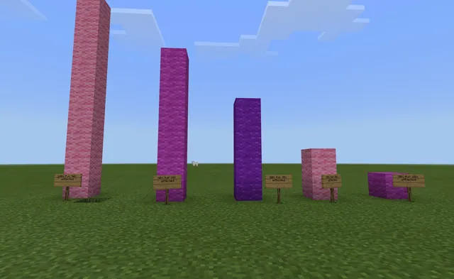
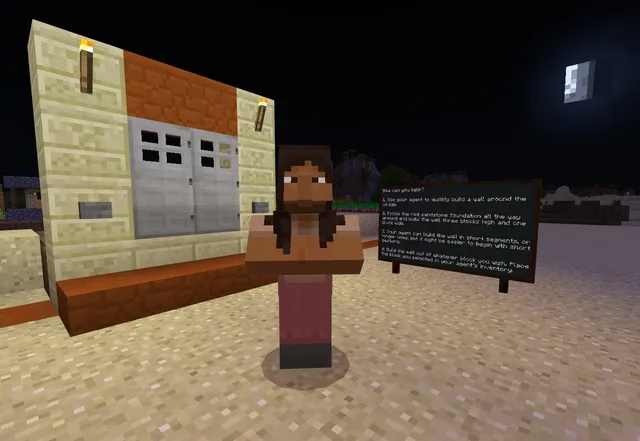
Place students into project groups to select a secret Earth location using maps or Google Earth. Groups draft an aerial view sketch on graph paper, mark where 3 to 4 slates, boards, or posters will offer clues, and obtain teacher approval before loading a new creative world or library biome to start building.
- Day 3: Construction and Geography Guessing Game60 min
Allow teams time at the start of class to finalize their Minecraft landforms and place their clue boards. Groups then swap stations to evaluate a peer build.
Students begin by flying high above the build to inspect the landform strictly from an aerial perspective and record initial hypotheses. Next, they fly down to read the slates and posters to refine their ideas before every group reveals their true location to the class.
Assessment: success criteria
- The student accurately produces an aerial-perspective sketch on graph paper before constructing in-game.
- The student collaborates to build recognizable physical features of the secret location in Minecraft.
- The build includes 3 to 4 written clues on slates, boards, or posters that help peers narrow down the geographic location.
- The student actively participates in the deduction process by examining peer builds from both high-altitude and ground perspectives.
Differentiation
Limit student choices to a small set of well-known landforms from a single pre-selected region on the Windows on Earth site.
Have students capture their build using the Minecraft camera and portfolio, then compile their images and clues into a Sway or Adobe Spark Page presentation.
Knowledge check
5 questions to check understanding after the lesson. Tap an answer to see if it is right; the score appears at the end.
1From which module on the International Space Station do astronauts capture most of their photos and videos of Earth?
Answer: B. The lesson notes that most pictures and videos are taken from the Cupola observatory module.
2What type of view are students required to sketch on graph paper before building their landform?
Answer: C. Students must create a sketch of what their area looks like from an aerial view before building in Minecraft.
3Which website is used during the first day of the lesson to explore astronaut photography?
Answer: A. The teacher and students use the Windows on Earth website to view images taken from the ISS.
4What in-game items do students place to give clues about their secret location?
Answer: C. Teams place 3 to 4 slates, boards, and/or posters around their build to provide descriptive hints.
5How do classmates first inspect another group's build during the guessing game?
Answer: C. The initial phase of the guessing game requires students to observe the build strictly from a high aerial perspective before checking clue boards.
Resources
Part of the International Space Station curriculum
This is lesson 7 of 8 in International Space Station.
- Bone Loss in Space
- Filtering Water on the International Space Station
- International Space Station
- Invisible Forces at Work
- Plants vs. Gravity
- Rockets Away!
- Seeing Earth from the International Space Station
- Solar Panel Setback
Frequently Asked Questions
Do students build their landforms inside the Minecraft ISS world?
No. Students explore the International Space Station world only to locate the Cupola module, after which they launch a new creative world or select a suitable biome from the Minecraft library to build their landform.
How can I prevent students from finding the guessing game too difficult?
You can restrict the entire class to selecting landforms or regions from a single continent or specific section on the Windows on Earth website, which narrows the range of possible answers.
Adapted from Seeing Earth from the International Space Station by Phygital Labs on Minecraft Education, last updated Jul 28, 2025. This classroom version, the timings and the quiz were written by 9Minecraft Education.