- Type
- Lesson plan
- Subject
- History & Social Studies
- Ages
- Ages 11-18
How did geography and agricultural innovation enable permanent civilizations to emerge and thrive in ancient Mesopotamia?
Overview
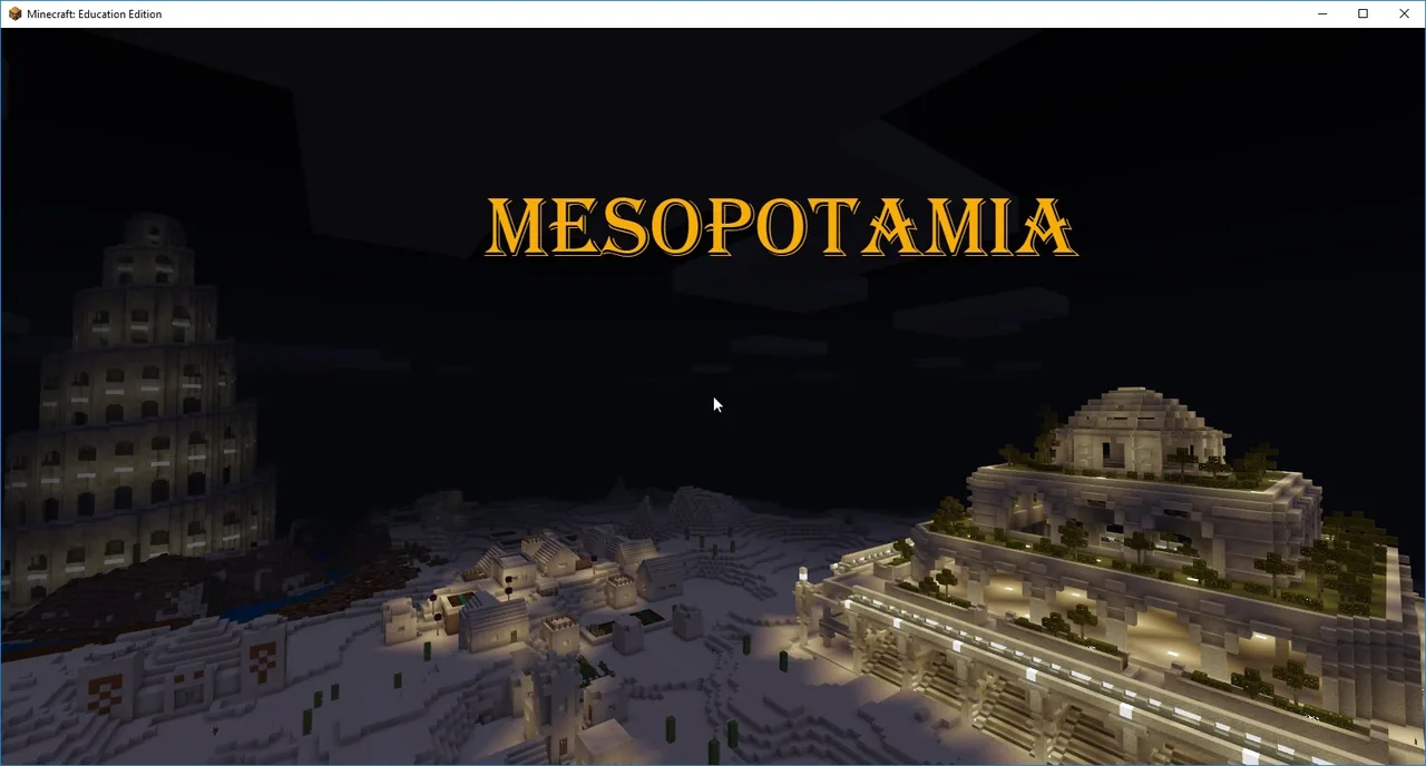
Ancient Mesopotamia, situated in the Fertile Crescent between the Tigris and Euphrates rivers, gave rise to the civilizations of Sumer, Babylonia, and Assyria. As human societies shifted from nomadic hunting and gathering to settled agriculture, managing water and land became central to survival and growth. This lesson guides students through the geographic features and adaptations that allowed these early societies to flourish.
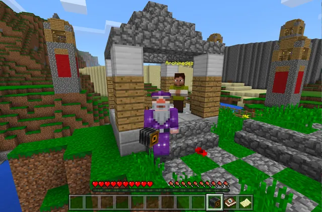
Using Minecraft Education in survival mode, students navigate six distinct stations connected by teleporters to keep them focused on practical river valley challenges. Learners build levees, configure irrigation for terraced farming, harvest timber for palace construction, replicate a historic ziggurat, and record their progress using the in-game camera and Book and Quill.
Learning objectives
By the end of this lesson students will be able to:
- Explain how the Tigris and Euphrates rivers supported agriculture and permanent settlements in the Fertile Crescent.
- Construct water management features, including irrigation systems and river levees, to support farming.
- Build a representative Mesopotamian ziggurat based on historical station prompts.
- Document learning and station reflections using the in-game camera and Book and Quill for teacher assessment.
Blocks and items used in this lesson


Key vocabulary
- Fertile Crescent
- A historic region between the Tigris and Euphrates rivers where early farming civilizations first developed.
- Ziggurat
- A massive, terraced temple tower built in ancient Mesopotamian city-states.
- Irrigation
- The artificial supply of river water to land or crops to support agricultural growth.
- Levee
- An embankment built alongside a river to prevent seasonal flooding of fields and homes.
- Terraced farming
- A system of graded, step-like plots cut into slopes to maximize usable crop area and water distribution.
Before class
Lesson sequence
- Introduction to the River Valley
Introduce the transition from nomadic hunter-gatherer lifestyles to permanent agricultural settlements in the Fertile Crescent. Review the geographic significance of the Tigris and Euphrates rivers, as well as the civilizations of Sumer, Babylonia, and Assyria.
- Survival Mode Station Exploration
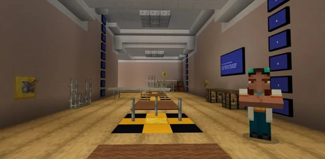
Direct students into the world in survival mode. Students use teleporters to visit stations across the map, reading NPC dialogue and linked texts to understand the physical adaptations required in river valley living.
- Hands-On Agricultural and Civil Engineering Tasks
At the activity stations, students complete specific tasks: planting crops on terraced farmland, engineering irrigation channels, reinforcing riverbanks with additional levees, and farming timber for future builds near the palace.
- Ziggurat Construction and Free Build
Students construct their own ziggurat based on regional architecture and utilize gathered timber during building activities around the palace area.
- Documentation and Portfolio Export
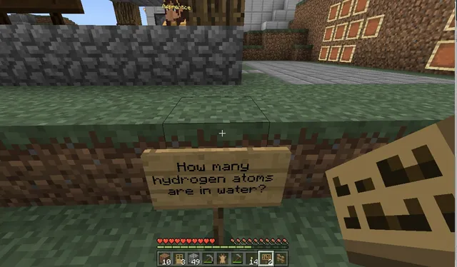
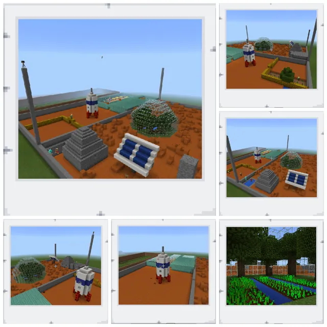
Throughout the lesson, learners capture photos of their work and write answers to the station board questions in their Book and Quill. Students title, sign, and export their finished books to the teacher for evaluation.
Assessment: success criteria
- Completed in-game tasks including levee reinforcement, irrigation placement, and terraced farming.
- Construction of a recognizable ziggurat and appropriate use of farmed timber.
- Exported Book and Quill containing answers to station prompt boards alongside relevant in-game photos.
Differentiation
Allow students to collaborate in pairs to read NPC resources and compile answers before logging them into their individual books.
Challenge students to expand their builds near the palace area using additional architectural elements characteristic of Sumer, Babylonia, or Assyria.
Knowledge check
5 questions to check understanding after the lesson. Tap an answer to see if it is right; the score appears at the end.
1Which two rivers formed the boundaries of ancient Mesopotamia?
Answer: B. Mesopotamia was located between the Tigris and Euphrates rivers in the Fertile Crescent.
2Which three major civilizations developed within the Fertile Crescent?
Answer: A. The source lists Sumer, Babylonia, and Assyria as the three major civilizations that emerged in this region.
3Why are players placed in survival mode during this activity?
Answer: C. Survival mode limits inventory access and disables flying to ensure students remain on task at each station.
4What specific ancient stepped structure are students tasked with building?
Answer: D. The lesson specifically instructs students to build their own ziggurat.
5How do students turn in their completed work and reflections?
Answer: B. Students record reflections and answers alongside camera photos in a Book and Quill, which is then titled, signed, and exported to the teacher.
Part of the Cities and Civics curriculum
This is lesson 6 of 12 in Cities and Civics.
- Egypt Toybox Lesson 1 of 5
- Black Wall Street
- Egypt
- Jamestown
- Kyiv: Craft a City Guidebook
- Mesopotamia
- Peter Is Here: AI for Cultural Heritage
- Rome
- The City Of Florence (Italy)
- The Round City of Baghdad
- Touring Mini Melbourne
- Washington D.C.
Frequently Asked Questions
How do students travel between the six activity stations?
Teleporters are placed at each station to allow students to move between activity areas efficiently while restricted to survival mode.
What documentation is required inside the Book and Quill?
Students must include written answers to the questions posted on boards at the stations along with accompanying photographs taken with the in-game camera.
Adapted from Mesopotamia by Trish Cloud on Minecraft Education, last updated Jul 14, 2025. This classroom version, the timings and the quiz were written by 9Minecraft Education.