How did early travelers navigate and record their journeys across the United States without modern navigation tools?
Overview
Long before digital navigation and modern road systems existed, pioneers had to rely on physical maps, landmarks, and route planning to traverse unfamiliar terrain. In this lesson, students explore the fundamentals of cartography by examining how travelers documented and navigated their routes across the continent.
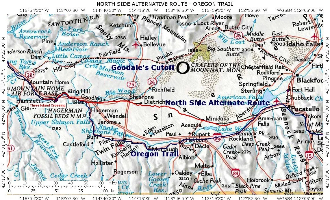
Students connect familiar navigation experiences, such as traveling to school or visiting a friend, to historical journey mapping. Working with a United States map and route stops from the Oregon Trail, learners locate key waypoints and study topographical features along the trail.
Learning objectives
By the end of this lesson students will be able to:
- Locate specified historical travel stops on a modern map of the United States.
- Trace the path taken by pioneers across different regions of the country.
- Analyze elevation differences along the Oregon Trail using a topographical map.
- Describe geographical vocabulary and concepts associated with historical journeys.
Blocks and items used in this lesson


Key vocabulary
- GPS
- Global Positioning System; a modern satellite-based tool used to find locations and directions.
- Topographical Map
- A specialized map that displays surface features and changes in elevation across the land.
- Elevation
- The height of land above a set reference point, typically sea level.
- Pioneers
- Early travelers who moved across North America along wilderness routes such as the Oregon Trail.
Before class
Lesson sequence
Suggested timing: about 70 minutes in total.
- Warm-up: Everyday Mapping10 min
Introduce the lesson by asking students to think about how they find their way to familiar destinations, such as school, a friend's house, or a favorite vacation spot. Discuss what navigation tools they rely on today compared to what was available in the past.
- Explore: Pioneer Navigation10 min
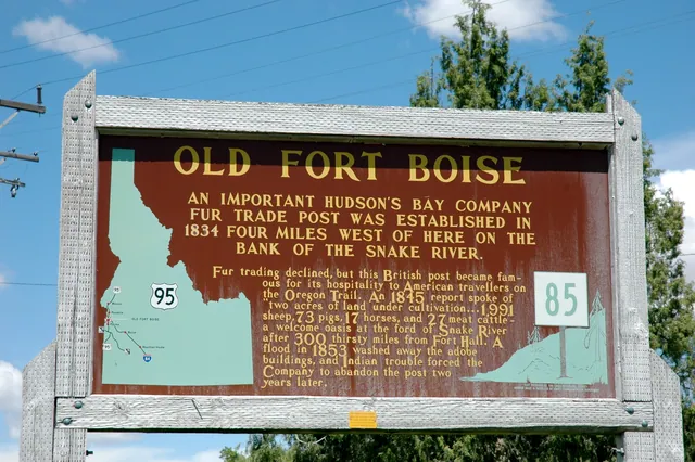
Explain that trail goers had neither satellite GPS units nor commercial roadside maps. Introduce the historical context of the Oregon Trail and review the list of key waypoints that pioneers reached during their travels.
- Activity: Plotting the Trail25 min
Have students use modern maps of the United States to find and plot each waypoint from the pioneer list. Guide learners to connect these points sequentially to visualize the route pioneers walked and rode across the country.
- Challenge: Topographical Analysis15 min
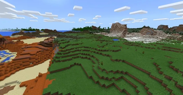
Introduce topographical maps to examine the trail's terrain. Have students record where elevation rises and drops significantly along the route, discussing how these physical changes affected pioneer travel.
- Reflection and Discussion10 min
Conclude with a whole-group discussion where students share observations about the route, explain new vocabulary they acquired, and summarize the key concepts learned from charting historical journeys.
Assessment: success criteria
- Student accurately identifies and marks historical pioneer waypoints on a modern United States map.
- Student demonstrates the sequential route followed by travelers on the Oregon Trail.
- Student explains how a topographical map illustrates changes in elevation.
- Student articulates new geographical vocabulary and insights gained through mapping.
Differentiation
Provide a pre-labeled outline map with numbered coordinates to help students locate pioneer waypoints step by step.
Have students annotate specific elevation changes along the entire trail route using detailed contour lines from a topographical map.
Knowledge check
5 questions to check understanding after the lesson. Tap an answer to see if it is right; the score appears at the end.
1What modern tool did pioneers lack while traveling westward?
Answer: C. The lesson notes that trail goers did not have modern GPS devices to guide their travel.
2Which type of map helps students observe changes in terrain height along the trail?
Answer: A. A topographical map displays elevation changes along the landscape.
3What historical route do students study and map during this lesson?
Answer: B. The source specifies investigating and reflecting upon the Oregon Trail journey.
4What base reference do students use to plot the pioneer waypoints?
Answer: C. Students are instructed to chart the pioneers' journey on a current US map.
5Which guiding question connects students' personal lives to mapping?
Answer: A. The guiding questions ask students if they can map their favorite trip, their school route, or a friend's house.
Part of the The Oregon Trail curriculum
This is lesson 8 of 14 in The Oregon Trail.
- An Artist’s Perspective
- Barlow Road
- Build a Fort
- Cross, Float, or Hire
- Everlasting Bubbles
- How fast can you go?
- Make Your Mark
- Map the Journey
- Public Service Announcement
- Run, pony, Run!
- Supply and Demand
- Take it or leave it?
- Travel Guide
- Which Month Will You Leave?
Frequently Asked Questions
Is a downloadable Minecraft world required for this activity?
No. The lesson is designed as a mapping and geography exercise that does not require an attached world file.
What materials do students need to complete the main activity?
Students need a list of pioneer stops along the Oregon Trail, a contemporary map of the United States, and access to a topographical map for elevation analysis.
Adapted from Map the Journey by Minecraft Education on Minecraft Education, last updated Aug 27, 2025. This classroom version, the timings and the quiz were written by 9Minecraft Education.