- Type
- Lesson plan
- Ages
- Ages 6-13
- Skills
- CollaborationCreativity
How did regional environments across North America influence the shelters, food sources, and cultural traditions of Native American groups?
Overview
Native American cultures developed distinct ways of life shaped directly by the geography, climate, and available natural resources of their homelands. In this inquiry-driven lesson, students explore how environmental factors across North America influenced how indigenous peoples obtained food, clothing, and shelter, as well as how their cultural traditions flourished.
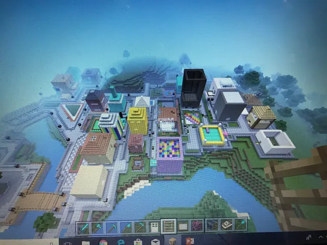
Working in small teams, students translate their research into an interactive Minecraft build. They collaborate to construct realistic landscapes, traditional homes, food systems, and cultural artifacts, documenting their creations using signs, the camera tool, and a captioned portfolio for assessment.
Learning objectives
By the end of this lesson students will be able to:
- Research diverse Native American regions using textbooks, lessons, or internet resources.
- Compare and contrast how indigenous groups used their regional environments to meet survival and cultural needs.
- Draft a visual sketch and plan detailing regional geography, homes, food sources, and cultural artifacts.
- Construct a collaborative model of a selected Native American region in Minecraft.
- Document and caption regional features using in-game signs, cameras, and portfolios.
Blocks and items used in this lesson


Key vocabulary
- Region
- A geographic area characterized by common physical features, climate, and natural resources.
- Adaptation
- Adjusting everyday life, tools, shelter, and habits to survive within a specific environment.
- Pueblo
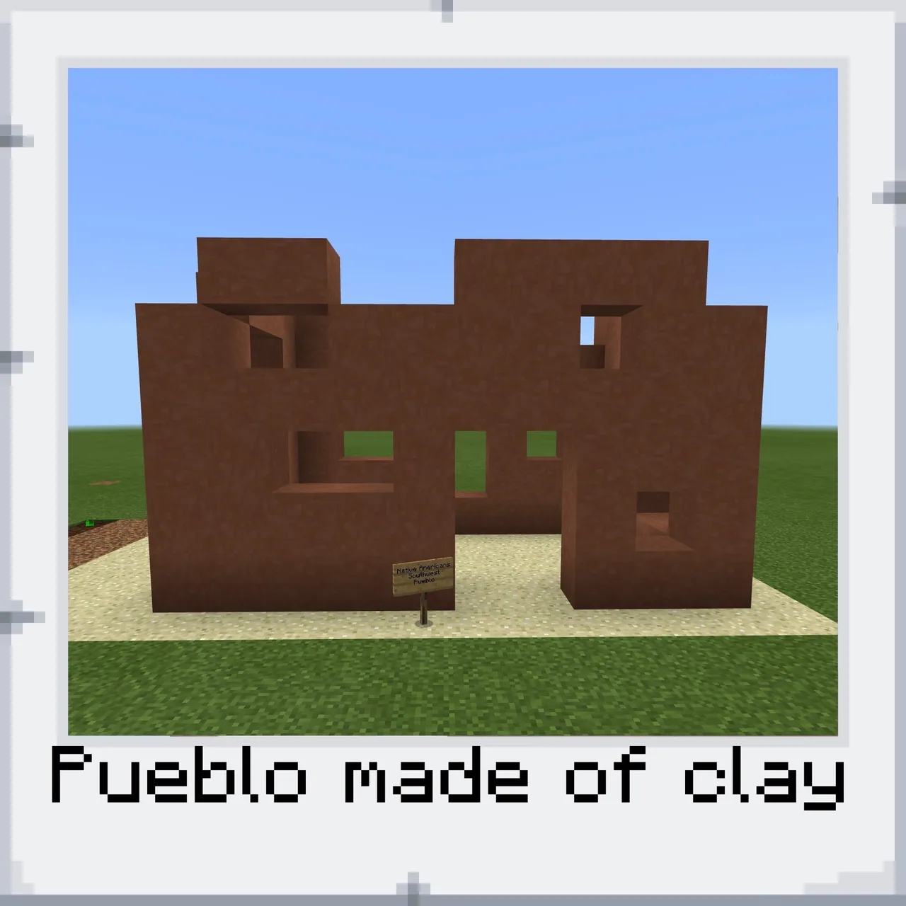
- A traditional multi-story stone or adobe home built by indigenous peoples of the American Southwest.
- Portfolio
- An in-game Minecraft tool that stores camera photographs and student text captions.
Before class
Lesson sequence
- Research and Analysis
Introduce the guiding questions exploring environmental adaptation. Students research various Native American regions through teacher instruction, textbooks, or internet sources, recording regional details about food, clothing, and housing on their Native American Regions chart.
- Planning and Sketching
Organize students into small teams of two to three. Each group selects one region to model in Minecraft, reviews their completed chart, and sketches a visual plan showing how they will represent the terrain, traditional dwelling, food sources, and cultural items.
- Collaborative World Building
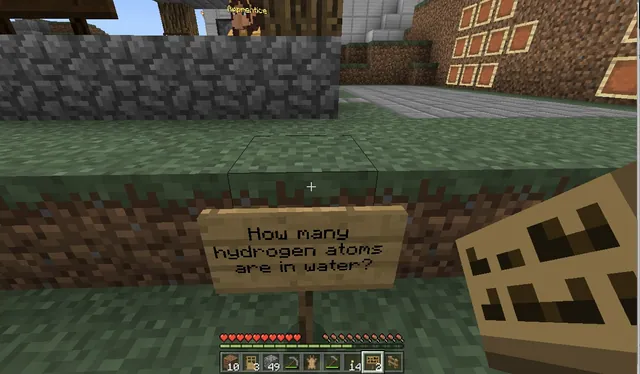
Groups enter Minecraft to construct their chosen region according to their sketches. Students collaborate to shape the landscape, build accurate homes, depict food-gathering methods, and place cultural artifacts, labeling all major components with in-game signs.
- Portfolio Documentation
Students use the in-game camera to photograph the geography, dwelling, food source, and cultural artifacts they constructed. They place the photos into a portfolio, add clear descriptive captions (such as labeling a Southwest dwelling as a Pueblo), and submit their work for rubric assessment.
Assessment: success criteria
- Accurate completion of the Native American Regions comparison chart.
- A hand-drawn sketch outlining the planned home, terrain, food sources, and cultural items.
- A collaborative Minecraft build containing all four required elements: geography, home, food source, and culture.
- Proper use of in-game signs to identify constructed items within the world.
- A complete camera portfolio with descriptive captions corresponding to the lesson rubric.
Differentiation
Provide guided research organizers with key vocabulary and image examples of traditional dwellings before students begin drafting their build plans.
Have advanced groups build and contrast two distinct regional environments within the same world to showcase differing adaptations side by side.
Knowledge check
5 questions to check understanding after the lesson. Tap an answer to see if it is right; the score appears at the end.
1What is the primary learning objective of this lesson?
Answer: B. The lesson objective states that students compare and contrast how American Indians in each region used their environment to obtain food, clothing, and shelter.
2Which tool do students complete during their initial research phase?
Answer: A. Students research various regions and fill out the attached Native American Regions chart to prepare for building.
3What group size is recommended for building the regional model in Minecraft?
Answer: C. The performance expectations state that students work in a small group of 2-3 students to create their world.
4What must students do before they begin constructing their region in Minecraft?
Answer: B. Students are instructed to use their chart information to draft a plan and sketch out their home, food, and cultural artifacts first.
5How do students document their finished regional builds for assessment?
Answer: D. Students document their builds by taking photos with the camera, placing them in a portfolio, and captioning each item with a label.
Resources
- Lesson package (.zip)Everything the author attached to this lesson in one download.
- Native American Regions chart
- Native American Regions RubricA rubric for assessing the Planning, Construction, Critical Thinking, and Collaboration of each project.
Frequently Asked Questions
Does this lesson include a downloadable world file?
No, there is no downloadable world file provided for this lesson. Students start in a standard world and terraform the landscape to match their assigned region.
What specific elements must be present in every group build?
Every build must include four key features: regional geography, a traditional type of home, regional food sources, and evidence of cultural heritage, all labeled using in-game signs and portfolio photos.
Adapted from Native American Regions by Lisa Lougheed on Minecraft Education, last updated Apr 2, 2018. This classroom version, the timings and the quiz were written by 9Minecraft Education.