How do planners and architects design urban spaces to balance tall structures, public spaces, and community needs?
Overview
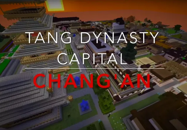
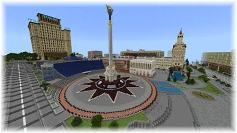
Cities require intentional organization, architectural style, and civic planning to meet the needs of diverse populations. In this project, learners investigate how urban areas balance residential quarters, commercial towers, and communal spaces like parks while considering growth and land limitations.
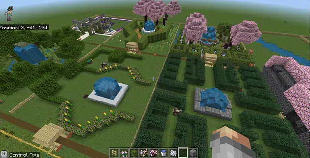
Using a dedicated multi-plot world map, students work individually or in small teams to develop designated city blocks. Along the way, they document their architectural workflow with photographs and assemble a presentation to communicate their urban design solutions.
Learning objectives
By the end of this lesson students will be able to:
- Research essential urban features including skyscrapers, transit layouts, and public parks.
- Draft a preliminary sketch illustrating the planned layout of an assigned city plot.
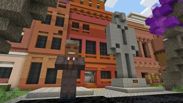
- Construct a customized city block in Minecraft reflecting researched architectural designs.
- Document the construction process by taking and labeling in-game portfolio photographs.
- Present a finished digital slide deck explaining zoning and structural design decisions.
Blocks and items used in this lesson


Key vocabulary
- Urban Planning
- The process of organizing city layouts, infrastructure, and public zones.
- Skyscraper
- A very tall multistory building designed for dense city environments.
- Public Space
- An open communal area, such as a park or plaza, accessible to everyone.
- Elevated Rail
- A passenger transit system constructed on tracks raised above street level.
Before class
Lesson sequence
- Research and Brainstorming
Pose guiding questions regarding how cities are planned and who determines building styles. Students conduct brief research into skyscrapers, street maps, and public parks, recording their findings in notebooks or digital journals. Facilitate a group discussion to coordinate overall city features, such as who will construct parks or transit lines.
- Design Sketching and Plot Allocation
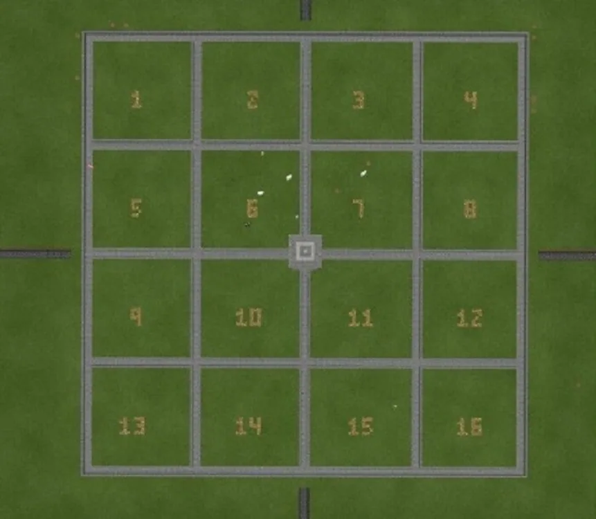
Assign each student or team one of the 16 plots in the City World map. Before logging in, learners create a hand-drawn or digital sketch outlining their intended building footprint, height, and intended function.
- Plot Construction
Host the world for students to join their assigned plots. Learners build their structures using the styles and concepts identified during research, keeping adjacent plots and shared city infrastructure in mind.
- Portfolio Documentation
As construction progresses, students capture at least 10 in-game photos using the camera tool. Each captured image is labeled with descriptive captions explaining the design feature or construction milestone.
- Presentation and Peer Sharing
Learners export their portfolio images and assemble a slide presentation of at least five slides. Each student or group presents their completed city block to the class, highlighting architectural styles, public amenities, and lessons learned.
Assessment: success criteria
- Completed research notes and preliminary plot sketch submitted prior to building.
- Finished Minecraft build occupying the assigned plot with intentional architectural styling.
- Portfolio collection containing at least 10 properly labeled progress photos.
- Digital presentation featuring at least five slides with titles, sentences, and images.
- Verbal or digital presentation explaining the rationale behind the urban design choices.
Differentiation
Pair learners together on a single plot and provide a pre-structured presentation template with sentence starters.
Challenge advanced students to coordinate across plots to construct an interconnected elevated rail network or shared civic center.
Knowledge check
5 questions to check understanding after the lesson. Tap an answer to see if it is right; the score appears at the end.
1How many city blocks are available for students to build on in the City World map?
Answer: B. The City World map provides 16 city blocks designated for student construction.
2What should students complete before entering the world to construct their buildings?
Answer: C. Suggested expectations specify that students sketch a plan of their build after researching and prior to entering the world.
3What is the recommended minimum number of labeled photos students should collect?
Answer: B. The lesson assessment criteria outline that students should take at least 10 pictures with descriptive labels.
4According to the lesson expectations, what must each presentation slide include?
Answer: A. Each slide in the presentation is expected to have a title, explanatory sentences, and an accompanying image.
5What is the minimum recommended slide count for the final student presentation?
Answer: D. The assessment expectations suggest creating a presentation containing at least 5 slides.
Resources
- Lesson package (.zip)Everything the author attached to this lesson in one download.
- City World MapMap of 4x4 City World grid. Expandable if needed.
Frequently Asked Questions
Can students work in groups or must they build individually?
The lesson map is flexible and allows students to work either independently on their own plot or in small teams sharing a designated city block.
What software should students use for their final presentation?
Students can assemble their presentations using Microsoft Sway, PowerPoint, or any accessible presentation alternative that supports image and text layouts.
How do students access the build environment?
The teacher downloads the City World map file and hosts it so that students can connect across the local network and move to their assigned plots.
Adapted from City World by Scott Jost on Minecraft Education, last updated Jun 3, 2022. This classroom version, the timings and the quiz were written by 9Minecraft Education.