- Type
- Lesson plan
- Subject
- History & Social Studies
- Topics
- Geography
- Ages
- Ages 11-13
- Skills
- Project Based Learning
What defines a stratovolcano, where are they found globally, and why do agricultural communities settle nearby?
Overview
Stratovolcanoes are powerful geographical landforms characterized by distinct physical structures and complex relationships with surrounding human populations. In this geography lesson, students consolidate their understanding of volcanic terminology and investigate real-world geographical patterns, focusing on global volcano locations and the connection between volcanic terrain and human agriculture.
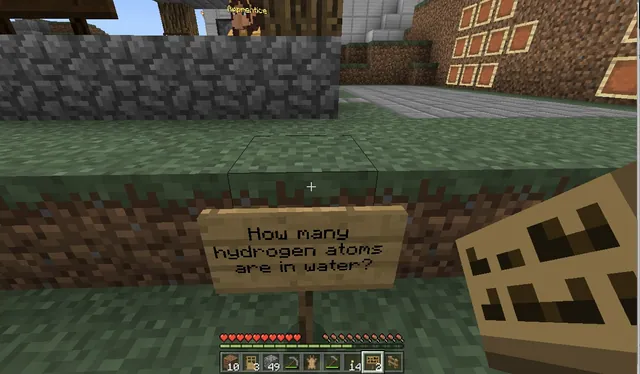
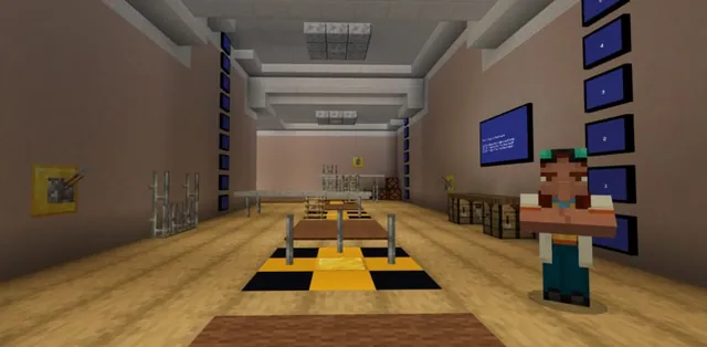
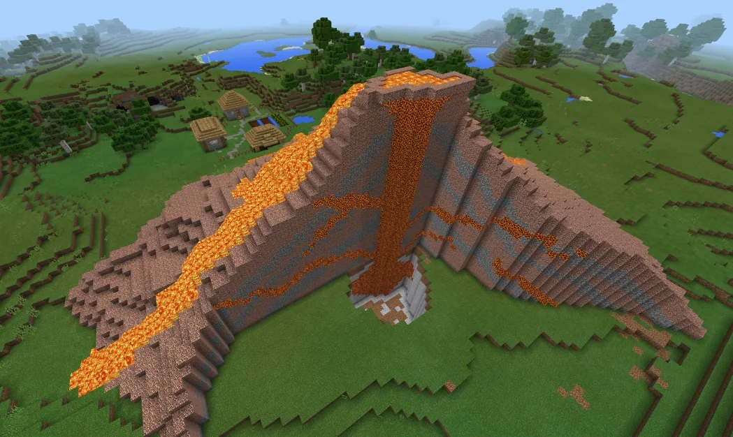
Using a downloadable Minecraft world, learners inspect an illustrative cross-section of a stratovolcano to reinforce core technical terms. They combine in-game observations with external research tools, such as atlases, textbooks, and the internet, recording their findings directly into a Book and Quill to export for review.
Learning objectives
By the end of this lesson students will be able to:
- Identify key anatomical features and technical terms of a stratovolcano profile.
- Locate real-world stratovolcanoes across the globe using the in-game map, atlases, or online resources.
- Explain why agricultural practices frequently occur in close proximity to active or dormant volcanoes.
- Record research findings and structural descriptions into a Book and Quill and export the completed work for assessment.
Blocks and items used in this lesson


Key vocabulary
- Stratovolcano
- A composite volcano built up by multiple layers of hardened lava, tephra, pumice, and ash.
- Profile
- A cross-section view showing the internal structure and layers of a geological formation.
- Book and Quill
- An in-game item in Minecraft that allows players to write, sign, and export text records.
Before class
Lesson sequence
- Introduction and Exploration
Introduce the lesson objectives and load the custom Minecraft world. Instruct students to navigate freely around the environment to examine the built-in profile of the stratovolcano, focusing on its physical shape and structural technical terms.
- Task 1: Global Identification
Direct students to identify real-world stratovolcanoes situated around the globe. Learners may collect coordinates or names provided in the Minecraft world, or confirm locations using geographical atlases, textbooks, and internet research.
- Task 2: Investigating Volcanic Agriculture
Challenge students to investigate why human farming and agricultural activities frequently take place in close proximity to volcanic formations. Students consult secondary sources, such as classroom textbooks or internet searches, to explain this spatial pattern.
- Documentation and Export
Have students open an in-game Book and Quill to summarize their findings for both tasks alongside the volcano's technical terms. Once finished, students export their written document as a file to submit for teacher assessment.
Assessment: success criteria
- Correct identification and description of stratovolcano technical terms from the in-game profile.
- Accurate global locations of real-world stratovolcanoes identified using game data, atlases, or internet research.
- Clear geographical explanation of why agricultural activities take place near volcanoes.
- Complete submission of an exported Book and Quill file containing answers to both assigned tasks.
Differentiation
Allow students to work in pairs and consult printed atlas maps to identify volcano locations before writing in their Book and Quill.
Encourage students to research and compare multiple regions worldwide where volcanic soils actively sustain major agricultural production.
Knowledge check
5 questions to check understanding after the lesson. Tap an answer to see if it is right; the score appears at the end.
1What specific type of volcanic feature do students explore in this Minecraft world?
Answer: B. The lesson specifically focuses on technical terms and structures belonging to a stratovolcano.
2Which in-game tool is used by students to document and export their completed work?
Answer: C. The source specifies that pupils record their answers using the Book and Quill feature and save them via the export function.
3What human activity are students asked to investigate in proximity to volcanoes?
Answer: D. The guiding ideas state that students should find out why agricultural activities happen in spatial proximity to volcanoes.
4Besides the Minecraft world, which external materials are suggested for completing the tasks?
Answer: A. The source identifies an atlas, textbook, and the internet as auxiliaries for solving the tasks.
5What visual representation inside the world helps students learn technical terms?
Answer: A. Students are able to see a profile of a stratovolcano within the world to learn the relevant technical terms.
Resources
Frequently Asked Questions
Can students complete the lesson if internet access is limited?
Yes. The tasks can be completed using the in-game world clues alongside printed geography atlases and physical textbooks available in the classroom.
How do students deliver their finished work to the teacher?
Students write their answers using the in-game Book and Quill item, then use the built-in export function to generate a file that can be turned in digitally.
Adapted from Discovering a stratovolcano by Florian Ringel on Minecraft Education, last updated Jun 6, 2022. This classroom version, the timings and the quiz were written by 9Minecraft Education.