- Type
- Lesson plan
- Subject
- Math
- Topics
- Math & Economics
- Ages
- Ages 8-13
- Duration
- 45 min
- Level
- Beginner
How do ordered pairs and coordinate grids help us pinpoint locations and interpret information?
Overview
Students develop foundational math skills by working with the coordinate plane restricted to the first quadrant. They learn to identify and interpret ordered pairs using standard (x, y) notation, map out coordinates from data sets, and understand how numerical values relate to real-world contexts.Learning objectives
By the end of this lesson students will be able to:
- Identify locations on a grid using ordered pairs in (x, y) format within the first quadrant.
- Plot given coordinate points accurately on a first-quadrant plane.
- Interpret the meaning of coordinate points within real-world situations and data sets.
- Navigate island challenges using compass directions to earn progression keys.
Blocks and items used in this lesson


Key vocabulary
- ordered pair
- A pair of numbers written as (x, y) indicating a specific point on a grid.
- first quadrant
- The upper-right section of a coordinate grid where both coordinates are positive.
- coordinate plane
- A flat grid formed by intersecting horizontal and vertical number lines.
- compass directions
- The navigational directions north, south, east, and west used to orient movement.
Before class
Lesson sequence
Suggested timing: about 45 minutes in total.
- Warm-up & Grid Introduction10 min
Review the structure of a coordinate plane focusing exclusively on the first quadrant. Model how to read and write an ordered pair using (x, y) formatting, reminding students how horizontal and vertical movements correspond to each coordinate.
- Island Exploration & Graphing20 min
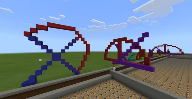
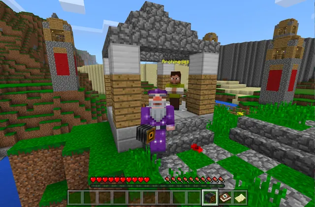
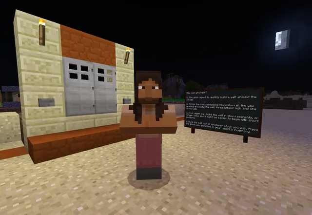
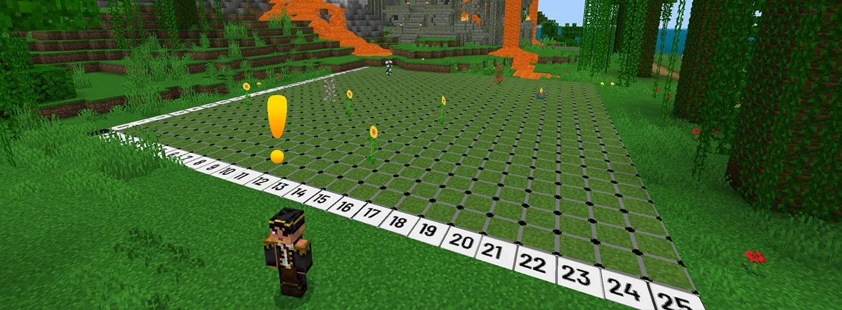
Have students load into the Coordinate Islands world to start Lesson 1. Students practice finding ordered pairs, following compass directions, and plotting points to earn keys that unlock further progression.
- Data Context & Problem Solving10 min
Guide students to graph given data sets representing real-world situations within the world. Prompt them to describe the process of plotting each point and explain what the values mean in context.
- Review & Reflection5 min
Bring the class together to recap the relationship between ordered pairs, compass directions, and grid locations. Have students explain how coordinate graphing helped them navigate the islands.
Assessment: success criteria
- Student accurately names points using (x, y) notation in the first quadrant.
- Student correctly describes the step-by-step process of graphing an ordered pair.
- Student successfully plots data points to earn keys inside the Minecraft world.
- Student correctly interprets the meaning of coordinates within the presented scenario.
Differentiation
Provide a physical desktop grid showing the x-axis and y-axis to help students verify their coordinates before entering them in-game.
Have advanced learners jump ahead to the Lava or Rock lessons using /function Islandhop to tackle more complex data sets.
Knowledge check
5 questions to check understanding after the lesson. Tap an answer to see if it is right; the score appears at the end.
1What is the correct standard format for writing an ordered pair?
Answer: B. Ordered pairs are written in (x, y) format, with the horizontal coordinate followed by the vertical coordinate.
2What reward do students earn in the world by successfully mastering graphing tasks?
Answer: A. The lesson description states that students gain keys by mastering their graphing skills.
3Which in-game command allows a teacher or student to skip to later island lessons?
Answer: C. Typing /function Islandhop prompts buttons to jump directly to Polar, Lava, or Rock.
4All graphing activities in this unit are restricted to which section of the coordinate plane?
Answer: D. The learning objectives explicitly state that graphing and point interpretation are limited to the first quadrant.
5Which island represents Lesson 2 in the sequence?
Answer: B. The teacher prep notes indicate that Polar corresponds to Lesson 2.
Resources
- Coordinate Islands Teaching GuidesUse this guide in conjunction with the Coordinate Islands world in Minecraft.
- Lesson worldOpens the world page in Minecraft Education (sign-in with a school account may be needed).
Frequently Asked Questions
How can I access specific lessons if I do not want to teach them in order?
You can type /function Islandhop in the chat window to open a menu with buttons for Polar (Lesson 2), Lava (Lesson 3), and Rock (Lesson 4).
Is there a shortcut button to reach the first lesson?
No, the first lesson begins automatically shortly after you enter the world and does not have an Islandhop shortcut button.
Adapted from Coordinate Islands by K12 Inc. on Minecraft Education, last updated Feb 28, 2025. This classroom version, the timings and the quiz were written by 9Minecraft Education.