
- Type
- Lesson plan
- Includes
- Quiz: 5 questions
How can thoughtful landscape planning and passive safety measures protect rural communities and ecosystems from forest fires?
Overview
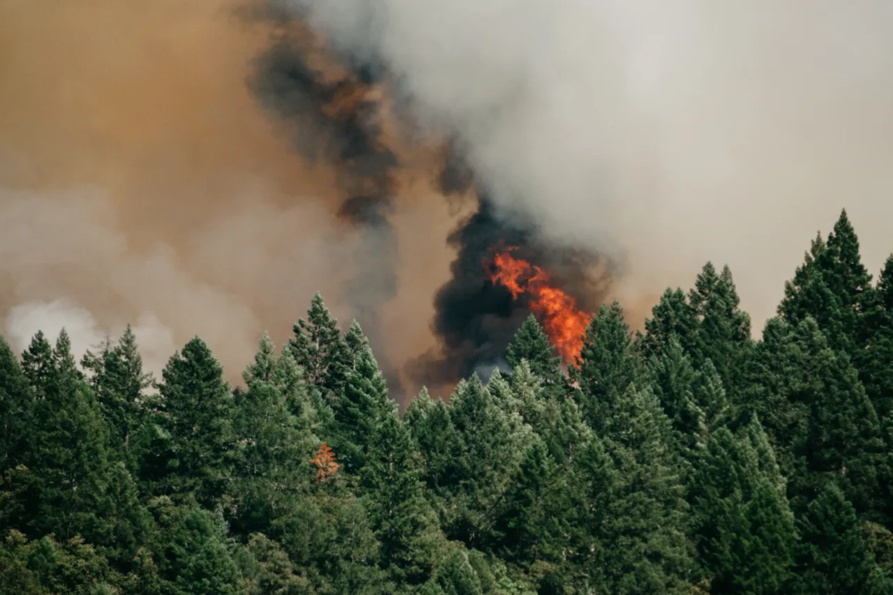
Forests play an indispensable ecological role as natural carbon sinks, physical air filters, and protective barriers against flooding and soil erosion. However, changing climatic conditions and poor land management in regions like Southern Europe have made rural landscapes and settlements increasingly vulnerable to massive, destructive wildfires.
Using Minecraft, students collaborate to create a vulnerable rural landscape with timber villages, varied terrain, and dense forests. After simulating a wildfire and observing its destructive consequences on nature and human infrastructure, learners redesign the environment using proven passive defense strategies such as fuelbreaks, clearings, and lookout structures.
Learning objectives
By the end of this lesson students will be able to:
- Construct a collaborative rural landscape featuring varied relief, waterways, timber settlements, and dense forest.
- Describe the negative impacts of forest fires on wildlife habitats, human life, dwellings, and economic activities.
- Implement passive fire prevention designs including defensible buffer zones, fuelbreaks, and observation points.
Blocks and items used in this lesson


Key vocabulary
- Fuelbreak
- A cleared strip of land designed to slow or stop the advance of a wildfire.
- Carbon Sink
- A natural reservoir, such as a forest, that absorbs and stores carbon dioxide from the atmosphere.
- Safety Zone
- A cleared area around buildings stripped of flammable vegetation to protect structures from fire.
- Vegetation Type Conversion
- Altering plant species in an area to create mosaic landscape patterns that reduce fire hazards.
Before class
Lesson sequence
- Rural Landscape Construction
Students work together to construct a diverse rural territory. The build must include mountains, valleys, plains, and waterways, dense forests populated with wildlife, cultivated grazing zones, and wooden villages connected by small roads.
- Wildfire Simulation
Most students take on the roles of rural villagers while designated students ignite fires across different forested areas of the map, initiating an uncontrolled fire spread simulation.
- Consequence Analysis and Discussion
The class monitors the path of the flames and observes the damage. Lead a classroom discussion on the causes of rural fires and their consequences, such as destroyed habitats, loss of homes and life, and disrupted economies.
- Implementing Passive Defenses
Students return to an unburned version of the map to apply practical prevention measures:
- Clear a 10-meter safety zone free of flammable vegetation around all wooden dwellings.
- Ensure connecting driveways maintain a clearance of at least 4 meters wide and 4 meters high.
- Construct primary fuelbreak systems and dedicated water reservoirs.
- Erect observation towers for rapid fire detection and establish mosaic vegetation patterns.
Assessment: success criteria
- The student contributed to building the initial rural environment with required features like relief, waterways, and wooden structures.
- The student can articulate how wildfires affect both natural ecosystems and human communities.
- The student correctly applied specific prevention techniques, including accurate safety clearances, fuelbreaks, or observation towers.
Differentiation
Assign students targeted tasks, such as measuring and clearing a 10-meter zone around a single house or widening a specific roadway.
Have students plan and build an integrated network connecting water reservoirs, watchtowers, and diverse vegetation mosaics across the entire territory.
Knowledge check
5 questions to check understanding after the lesson. Tap an answer to see if it is right; the score appears at the end.
1On average, approximately how many hectares burn each year across Europe?
Answer: C. Europe experiences roughly 50,000 fires annually that burn about 500,000 hectares, particularly in Southern Europe.
2What is the minimum recommended width and height for cleared driveways in the lesson?
Answer: B. The lesson specifies driveways should maintain a minimum clearance of 4 meters wide and 4 meters high.
3How wide should the cleared safety zone around homes be to protect against flammable vegetation?
Answer: A. Students are instructed to clear all flammable plants and trees within at least 10 meters of dwellings.
4Besides biological diversity, what key environmental benefit do forests provide according to the text?
Answer: C. Forests serve as major carbon sinks, filter the air, and retain soil precipitation to reduce floods and erosion.
5Which prevention strategy involves arranging different plant species to break up uniform fire fuel?
Answer: B. Vegetation type conversion is used to create mosaic patterns of species diversity across the landscape.
Frequently Asked Questions
Is there a pre-built world file to download for this activity?
No world download is provided. The lesson is designed for students to collaboratively construct the rural terrain and settlements directly within Minecraft.
How can we safely run the fire simulation without permanently losing our map?
Make a backup copy of the world file before igniting any fires so you can easily reload the pristine map for the prevention phase of the lesson.
Adapted from Forest/ Rural fires by Filipe Ferreira on Minecraft Education, last updated Aug 23, 2018. This classroom version, the timings and the quiz were written by 9Minecraft Education.